The Wave and Surface Current Monitoring System (WaMoS II) is an X-band marine radar manufactured by Rutter Inc. It measures radar backscatter to determine the 2-dimensional wave spectrum, significant wave height, wave direction, wave period, and surface current. It operates at 9.41 GHz and has a range resolution of 8.5 m. It can detect wavelengths from 15 to 600 meters and wave periods from 4 to 16 seconds. WaMoS II takes about 2 minutes between measurements, providing real-time data for major sea state parameters.

Instrument Details
- Radar
- Earth Science > Oceans > Ocean WavesEarth Science > Oceans > Ocean Waves > Wave PeriodEarth Science > Spectral/engineering > Radar > Radar ImageryEarth Science > Oceans > Ocean Waves > Wave SpectraEarth Science > Oceans > Ocean Waves > Significant Wave HeightEarth Science > Oceans > Ocean Waves > Wave HeightEarth Science > Oceans > Ocean Waves > Wave Speed/directionEarth Science > Spectral/engineering > Radar > Radar Backscatter
- Sea/Ocean/Water Surface
- 2 min
- 8.5 m
- 9.41 GHz
- Currently unavailable
Currently unavailable
Currently unavailable
Rutter, Inc.
Currently unavailable
Currently unavailable
Unpublished
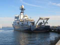
 R/V Roger Revelle 2 Campaigns · 16 Instruments | SPURS Salinity Processes in the Upper Ocean Regional Study 2012—2017 Subtropical North Atlantic Ocean, Tropical Eastern Pacific Ocean 2 Deployments · 41 Data Products
| ||||||
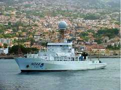
 R/V Ronald H. Brown 4 Campaigns · 51 Instruments |  Southern Ocean Gas Exchange Experiment 2008 Southern Ocean 1 Deployment · 0 Data Products
|
Filter data products from this instrument by specific campaigns, platforms, or formats.